Kenya’s unusually hot weather and what could be causing it

In Nairobi’s case, the high temperatures have been on and off, so we can’t talk of a heat wave. What Nairobi has had is a wave of hot weather that the human body can easily adjust to.
In early 2024 most parts of Kenya, including Nairobi, experienced unusually high temperatures. The World Meteorological Organization described the hot weather as a global phenomenon: record high temperatures were recorded in 2023. January 2024 has been recorded as the hottest month on record so far worldwide. Gilbert Ouma, the coordinator of the University of Nairobi’s Institute for Climate Change and Adaptation, and an associate professor at the Department of Meteorology, answers some key questions.
What is unusual about the weather in Nairobi?
More To Read
- Met Department issues heavy rainfall warning for Western, Rift Valley regions
- Kenya Met warns of reduced rainfall but showers to continue in parts of the country
- Weatherman warns of continued heavy rains, strong winds across Kenya until Monday
- Global temperatures projected to remain elevated until 2029 - report
- April to bring heavy rainfall, warmer temperatures - weatherman
- Kenyans warned to brace for more rains as wet season sets in
The annual average temperatures for Nairobi are normally moderate, between 24°C and 25°C on the higher side and 17°C-18°C on the lower side. These are generally very comfortable temperatures. However, in the December-January-February period, maximum temperatures are normally high, ranging between 26°C and 27°C.
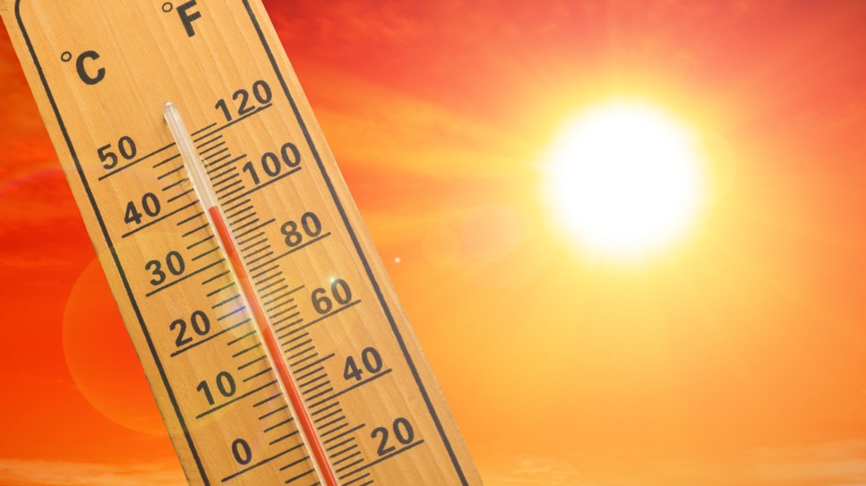
This year, temperatures in February went up to between 29°C and 30°C, even hitting 31°C. This is about 6°C higher than normal Nairobi temperatures. That is a big difference and our bodies are bound to feel the difference. If such an increase is sustained for a long time, it can lead to a heat wave.
But in Nairobi’s case, the high temperatures have been on and off, so we can’t talk of a heat wave. What Nairobi has had is a wave of hot weather that the human body can easily adjust to.
Why is the weather suddenly hot?
The winds that pass over Kenya from December to February every year are from the north. They blow mainly through continental areas, including some deserts. These winds flow in waves and periodically bring hot weather, the kind that has prevailed recently across East Africa.
The temperatures that are prevailing in Kenya are also dictated by the path that the winds take from the north. If the path is straight (over land mass), then we end up with these high temperatures that we experienced in the early months of 2024. If the winds follow a path that curves into the Indian Ocean, then the temperatures get moderated, resulting in cooler weather and rainfall in Kenya and other parts of East Africa.
Also, because of climate change, average global temperatures are rising. The temperatures last year were the highest on record. So the relatively high temperatures that we normally experience during this season (December-January-February) may be considerably higher.
Another thing to note is that the December to February season is always a dry season in Kenya, but December and January of 2024 were wet because of the late El Niño rains. The el Niño phenomenon is normally experienced in this region within the September-October-November season.
The temperatures which were supposed to be high in December and January were therefore moderated by those rains. So, when the rains ceased, the usual heat suddenly set in, making February feel very hot.
Kenya and its eastern African neighbours have all experienced the hot weather. The region is now moving towards the March-April-May season when the rainfall belt comes back around the equator and the sun will be overhead. The rainfall is expected to moderate the high temperatures.
What’s the effect of rising temperatures?
Aside from the hot weather at this time of year, the global climate is changing and average global temperatures are rising. The annual temperature for Africa has been increasing at an average rate of 0.13°C per decade since 1910, but this has more than doubled to 0.28°C since 1981.
The normal minimum temperatures and the maximum temperatures are rising. This will lead to changes in extremes, such as storms. A storm is a way that the atmosphere discharges excess energy to regain equilibrium.
When the energy builds in the atmosphere up to over certain levels, the excess has to go somewhere. The excess energy build-up due to the greenhouse gas effect, which leads to climate change, requires dissipation.
This is usually achieved through intense storms, leading to more frequent extreme rainfall events. On the other hand, the other extreme of very low rainfall will also occur, and so we will get more droughts. The total amount of rains will go up in some places and down in others.
There will also be an impact on ecosystems. A number of species will not survive the changing climate. For instance, mosquitoes cannot thrive in temperatures below 17°C and above 35°C. So when the average temperatures of places go beyond this range, mosquitoes would find it difficult to survive.
However, the temperatures of some places whose temperatures were not within this range may change and get within it. For such places, malaria will become a problem when previously there was no malaria there.
The long term effect would be bad on people’s health. It could lead to heat stroke and chronic conditions such kidney disease, hypertension and cardiovascular disease. It could also cause respiratory problems such as asthma.
Top Stories Today


